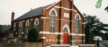
Haxey
Haxey is a large parish on the southern border of the Isle of Axholme. It now consists of the two large villages of Haxey and Westwoodside with the hamlets of Burnham (High and Low), Eastlound and Graiselound (or Craiselound as it is referred to by some people). In earlier days Westwoodside was divided into Park, Newbigg, Nethergate, Upperthorpe (or Overthorpe) and Commonside and these names are frequently found in the Parish Registers.
The parish is situated on one of a series of low-lying hills (reaching only to about 200feet) which protrude from the marsh surrounding them, until the beginning of the drainage by Vermuyden in 1626. Hence the name 'Isle' of Axholme. This swampy area was supposedly caused by the Romans, who are reputed to have cut down the surrounding forest areas to prevent raids by the Coritani, based on higher ground. Up until the time of the drainage, the main occupations of the parish were wild-fowling, fishing and pasturage with some arable farming on the higher land. The inhabitants, with those of the neighbouring parishes were referred to by Abraham de la Pryme as "being little better than heathens", and the independent spirit shown during the drainage disputes continues to the present day.
After the drainage the occupations of the inhabitants changed with the decline in the water level, and arable farming, particularly of root crops, became much more important, as it is to the present day. Hemp growing and sack and rope manufacturing also thrived throughout the area and the "retting" pits can still be seen on aerial photographs.
Haxey is also one of the few parishes remaining in England where remnants of the old strip system can be seen, and many inhabitants referred to themselves as farmers whereas in reality they only farmed an acre or less. This can be seen in many of the parish registers and Census returns. The agricultural year in the 'open field' system was supervised by the Townsmen, who regulated the strips and organised the communal labour. The parish still has it's Townsmen whose main duties nowadays are to rent out the parish 'meres' and to supervise them. Haxey is also famous for it's 'Hood Game' played every January 6th.
Before the drainage the only population movement was northwards along the hills towards Epworth and Belton, therefore there is continuity in many parish surnames from the 1500's. The Parish Registers start in 1556, and there is a complete run, from 1571 up to the present day. Local names which continue from 1556 are Cooper, Kelsey, Townend Coggan, Waterland, Barrow, Turr, Newborn, Harrison, Drury (in different spellings), Jaques, Sampson, Pettinger and several others. As complete records are available it is often possible to find ancestors back to the l6th Century, bearing In mind that the small number of repeating Christian names makes tracing relationships more difficult.
The Enclosure Award (1803) and Tithe Redemption Act (1847) both with maps are held in the Parish safe in the Church. There are a large number of other documents available for Family History research (marriage licences, inventories etc.). These and other documents, are held by Lincoln Archives.